Exporting
data
OpenOutcrop provides a number of options for exporting interpreted data and associated metadata. Most exports are in text file formats that can be recognizable by either Excel (as tab separated value) files or specific Petrel™ formats.
|
|
Clicking on the main menu option “File/Export.. will reveal the dialog on the left. You need to specify the scope of exported items (all items or only those which are currently active (ticked). In addition, you should also select whether to export just metadata in Excel compatible formats and/or in Petrel™ specific formats. The figure on the left shows which specific formats are output for each different interpretation type. OpenOutcrop will export ALL selected data to a single (structured) folder. To choose or create a folder, click on the … button in the “Export data to folder” section. |
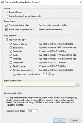
OpenOutcrop, by default will export all data in world coordinates by adding project offsets (specified in the project properties) to each local coordinate. In addition, you may also specify an additional depth (z) offset to add to each depth value to simulate “burying” the outcrop to a depth where reservoir simulation is proposed.
Once you click “OK”, all selected data will be exported. A listing of an output folder shows the following –
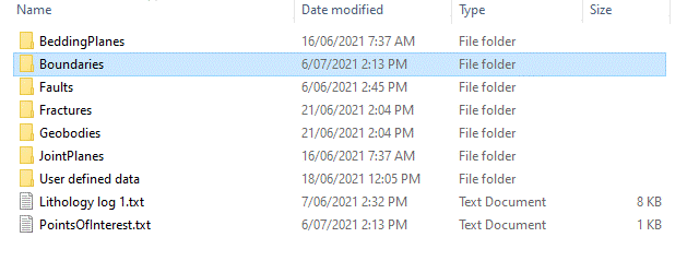
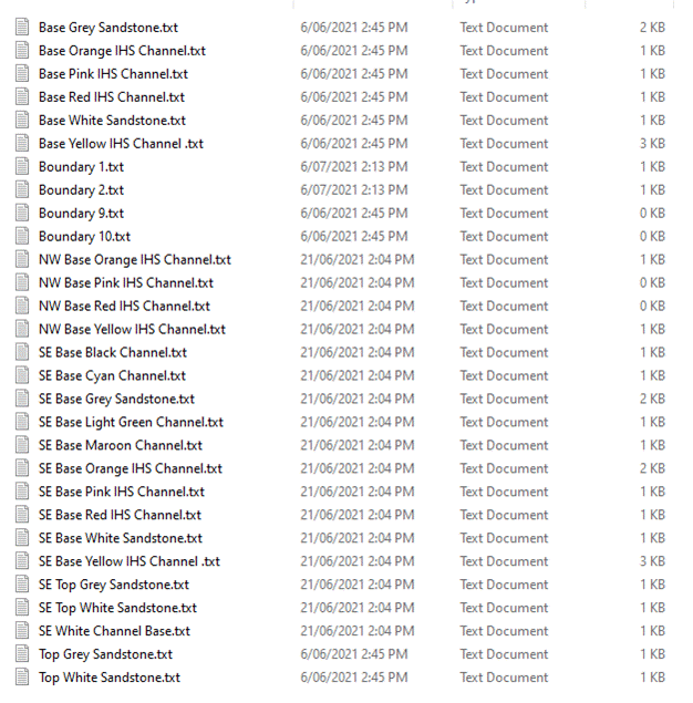
Each (sub) folder creates individual files of the appropriate data type. For example a listing of the “Boundaries” folder shows the following
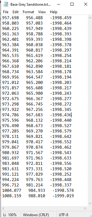
All individual files are can be viewed or edited with an appropriate text editor (e.g. Notepad). A sample showing x,y & z locations for an interpreted boundary is shown below.